In 256 BC, at the place where the Min River comes out of the mountains, the water arrived fast and then suddenly spread out. Beyond the gorge lay flat land.
A middle aged man stood on the bank, watching. He was the governor of Shu commandery, an official of the state of Qin, and his name was Li Bing.
He had not come to admire the view.
He had been standing on this bank for many days. Watching how the water moved, how the silt settled, and which stretch of bank gave way first.
For a thousand years this river had been trouble. When the water was high it tore down houses and drowned the crops. When it was low, the fields to the east cracked open for want of rain.
One region, half of it under water and half of it thirsty. That was the problem here.
Li Bing meant to make the river behave.
The Chinese remembered what he did for more than two thousand years. What they remembered was not what he built but how he thought.
Too Much Water, Too Little
Qin had a motive in sending him to govern Shu. If this land could grow grain, then when Qin turned east to conquer the other states, it would have a granary behind it.
Water control, in Qin, was as serious a matter as war.
To see the difficulty, look at the river itself.
The Min comes down from the highlands of northwestern Sichuan with a great drop and a violent current, carrying sand and stones. At the Dujiangyan stretch the land suddenly flattens, the water slows, and the load of silt begins to settle.
The riverbed rises. The water spills more easily.
And to the east of the river stands a mountain, Yulei.
That mountain blocks the way. The river cannot pass, so it hugs the western edge of the plain and runs south to Leshan. The result is flood in the west and drought in the east.
The two problems look like two, but they come from one root. The water was never led where it was needed.
Put more plainly: there was far too much water, and none of it was being used.
In the west people ran from the floods. In the east they carried buckets looking for water.
Why not build a dam, hold the water back, raise it, and lead it across?
Because this is not a river that can be dammed.
It is muddy, it is fast, and it has a temper.
The Min in flood and the Min in dry season differ more than ten times over. A high dam would be at risk the first time the flood came. And even if the dam held, the silt would pile up behind it. In a few decades it would be a useless wall.
Li Bing understood this.
He chose another road. Not to fight the river, but to go along with its temper.
He walked the river for a long way in both directions. He measured the fall of the land. He learned where the current ran fast and where it slowed, where the stones settled and where the bed stayed clear.
What he was doing was a kind of survey, done by eye and by foot, long before anyone had instruments for it.
The plan he settled on had no dam in it at all.
Splitting the Mountain
To lead water east, the first thing needed was a way through.
Yulei Mountain stood in the way, so a gap had to be opened in it.
That was more than two thousand years ago. There was no dynamite and no machinery.
There was fire, water, and human labour.
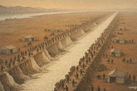
The method was this. Heat the rock with fire until it was glowing, then throw cold water on it. The stone, heated and then chilled, cracked. Layer by layer, burning, dousing, and cutting, they chewed a gap through the mountain.
That gap became the Bottle Neck.
It is about twenty metres wide, and it is the main intake for the whole irrigation system. Once it was open, river water reached the eastern plain for the first time.
The piece of the mountain that was cut away from the mass still stands in the river. Later generations called it the detached mound.
The Bottle Neck had a second use.
It is narrow, and its size is fixed. However high the water rises upstream, only so much can squeeze through. The rest has to go somewhere else.
In other words, the gap itself is a gate. It needs no one to tend it, and it holds the flow steady by itself.
A mouth that does not move, watching the volume for everyone.
The Fish Mouth and the Spillway
With the water able to enter the system, the next question was how to divide it.
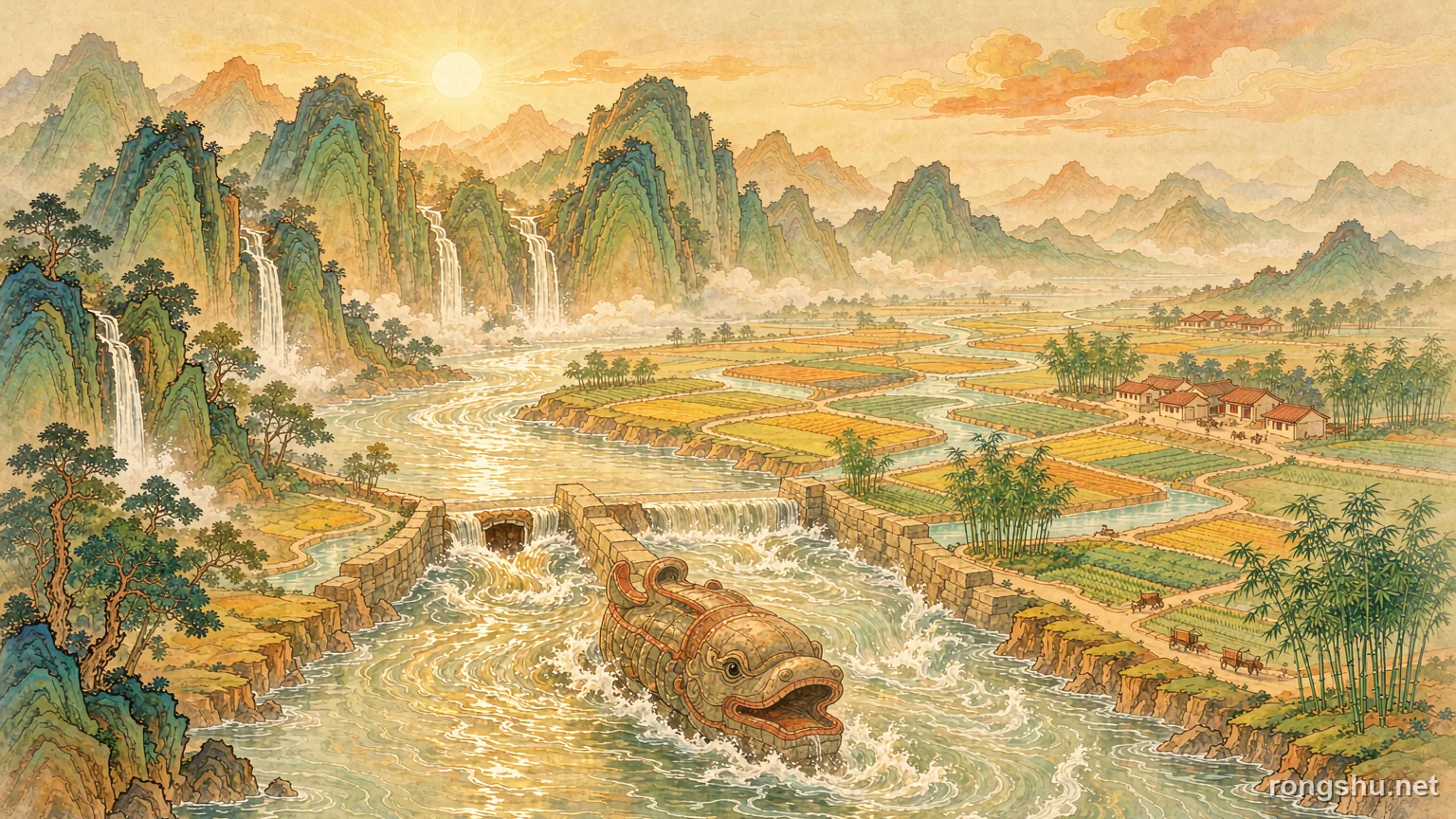
Upstream of the Bottle Neck, in the middle of the river, a dividing embankment was built. Its front end is shaped like the mouth of a fish, so it is called the Fish Mouth.
The Fish Mouth splits the Min into two channels. The outer river follows the old natural course and carries away the flood. The inner river runs to the Bottle Neck and waters the fields.
The clever part is that it rations the water by itself.
In the dry season the flow is small. The current cuts along the bend and drives straight into the inner river, so about six parts go in and four parts go out. Enough for the fields.
In the flood season the water rises, the sandbar is drowned, the channel widens, and the main current no longer follows the bend. It turns for the outer river. Now four parts go in and six parts go out.
Less when there is too much, more when there is too little.
This was later summed up in five words. Divide four six, level flood and drought.
How does it work? Through the sandbar in the middle of the river.
When the water is low, the surface is shallow, the current follows the bend and drives into the inner side. When the water is high, the sandbar disappears under it, the channel suddenly widens, and the current stops recognising the bend and turns for the outer river.
Nothing mechanical moves. Only the water moves.
The water does its own arithmetic.
Silt was dealt with at the same time. The circular flow in the bend throws the heaviest sand and stone to the side, and around the Fish Mouth about eight parts in ten of the river load are carried away through the outer channel.
Further down there is one more safeguard.
On one side of the inner river stands a low overflow weir called the Flying Sand Weir. Whenever the inner river rises above the warning line at the Bottle Neck, the excess water rolls over this low barrier and spills back into the outer river. In the greatest floods it is even allowed to be breached.
The word sand in the name refers to the other job it does. As the water rolls over the weir, sand and stone are thrown out with it, so that they cannot choke the narrow Bottle Neck downstream.
The Fish Mouth divides. The Flying Sand Weir releases and scours. The Bottle Neck limits and leads.
In, out, and hold. The parts work with one another and run on the shape of the land and the movement of the water, with no pump, no sluice gate, and no one watching all day.
Deep Dredge, Low Weir
Once the works were built, leaving them alone would let them silt up again within a few decades.
So there was one more thing, more important than the weirs themselves. The annual repair.
Every winter, when the Min falls to its lowest, the work is done. The inner river is stopped, the silt on its bed is dug out, and the banks are checked and patched. Before the spring planting the water is let back in, and the irrigation goes on as before.
The thing used to stop the water is a tripod frame of three wooden poles lashed together and set in rows across the river, backed with bamboo cages and earth. When planting comes, the ropes are cut and the water is released into the inner river.
In time the day of release became a festival, held around the Qingming season.
The maintenance has a standard, too.
Six characters are cut into the hillside. Deep dredge, low weir. Dredge deep enough, and the intake carries enough water. Keep the weir low, and the flood can still get out. The depth and the height are both worked out from the behaviour of the river.
There are eight more characters. At a bend, cut the corner. In a straight reach, dredge the middle. The current is kept running true.
To give the annual repair a fixed standard, three stone figures were once set in the river, with marks for the water level. The water must not fall so low that their feet show, nor rise so high that their shoulders are covered. Beyond that range, the work begins.
Those three figures were among the earliest water level gauges in the world.
With them, the decision of when to repair no longer depended on a person’s eye. It depended on a line cut into stone.
The old account also says that Li Bing had five stone oxen made and set in the water, to hold down the spirit of the river. That belongs to belief rather than engineering. The three figures that measured the water are the practical side of the same age, and the two are remembered together.
These methods are still in use today.
Two Thousand Years Later
There is one odd thing worth noticing.
The three main works that people know today, the Fish Mouth, the Flying Sand Weir, and the Bottle Neck, did not all appear at once.
The Records of the Grand Historian mentions Li Bing only for cutting the detached mound and leading two channels into Chengdu. The dividing weir and the overflow weir were added and improved by later generations. The Flying Sand Weir has a clear record of construction only as late as the Tang dynasty.
In other words, this was not the work of one man in one lifetime. It was a system built by relay over two thousand years.
One more thing should be said plainly.
Today people often speak of Li Bing and his son. But in the earliest records it is Li Bing alone who led the work. The son is a later addition, and how true it is cannot be settled.
What truly kept Dujiangyan alive may be something else.
Not stone, and not timber.
A habit. Every year, to take an old thing seriously and repair it once again.
The irrigation canals of ancient Babylon, and the aqueducts of Rome, were built in the same broad age. Many of them are long since buried in the earth.
Dujiangyan still supplies the Chengdu plain. It waters more than ten million mu of farmland and serves more than thirty million people.
It does not survive because its materials are so strong, or because it was built on such a grand scale.
It survives because every generation has dredged the same river and repaired the same works by the same rules.
In 2000 the United Nations listed the site as a world cultural heritage. More than two thousand years after the work began, it is still doing the job it was built for.
An engineering work that lasts two thousand years does not rest on one flash of cleverness.
The relay is the secret.
Go to Dujiangyan today, and stand on the bank, and it is hard to see anything that looks like a great engineering work.
No high dam. No gates. No iron frames. The water reaches the fish shaped embankment in the middle of the river and parts on its own.
The people of two thousand years ago wrote their answer into the shape of the land.
Not to stop the water, but to let it find the way it was meant to go.